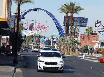
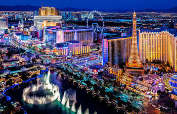
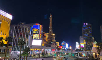
How did the Las Vegas Strip get its iconic name?
$6,000 Welcome Bonus
As the story goes, back in 1930 The Pair O’ Dice Nite Club opened its doors, the first of its kind on the Las Vegas Strip.
The club was sold to Guy McAfee, a former police officer with the Los Angeles Police Department who got involved in the gambling business through his connections as a vice cop.
“Now there are many version to this story,” said Michael Green, an associate professor of history at UNLV. “So McAfee ended up buying (The Pair O’ Dice Nite Club) in 1938, and calling it the 91 Club. And it was located where today there is sort of an empty lot near the Trump Tower. And that is where The Last Frontier would be built.”
Green said this was the point where the iconic Strip potentially got its now famous name.
“The story was that he was standing there one night looking at the lights of the cars on Highway 91 and the few clubs that existed at that time, and it reminded him of a street. He used to cruise Southern California, Sunset Boulevard, the Sunset Strip. And it’s hard because we really don’t have a smoking gun as much as we would like with that one.”
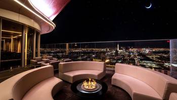
But what area really makes up the Strip?
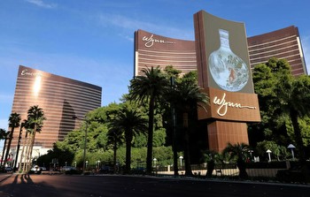
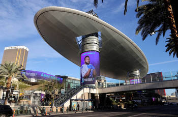
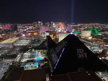
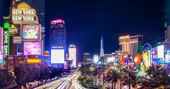
According to Clark County, officially the Strip runs from West Sahara Avenue (and doesn’t include the Strat just to the north) to the “Welcome to Las Vegas” sign, incorporating 27 hotel-casinos, with 2.5 million square feet of casino floor, 134 million total square footage and 77 pools. There are also 12 high-rise condo towers and timeshare properties with a total of 7,892 units.
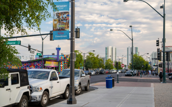
“The Las Vegas Strip has been designated a National Scenic Byway for obvious reasons,” said Erik Pappa, director of public communications for Clark County. “The top of the Strip is at Sahara Avenue, the dividing line between the city of Las Vegas and unincorporated Clark County. The area north of Sahara was long dubbed Naked City, before one gets to the Fremont Street area. Naked City has never been and never will be part of the Las Vegas Strip. The northern terminus of the National Scenic Byway is Sahara for a reason.”
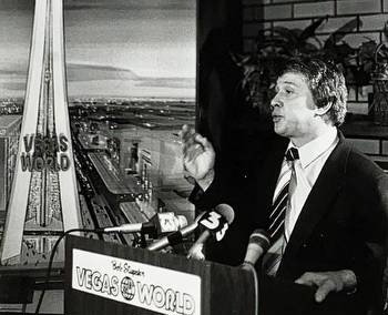
Pappa is referring to the nighttime byway that ends at Sahara, however the actual scenic byway extends north including the Neon Museum, the Stratosphere and the Old Mormon Fort. Green said the dispute as to where the Strip starts goes all the way back to when Bob Stupak built the iconic Stratosphere and it officially opened its doors in 1996.
“And Stupak said the beauty of Las Vegas is that he could move the beginnings of the Strip. So he just said basically, ‘We’re at the beginning of the Strip.’ So it does make sense for some people to say that’s where it is located, but I think a lot of it depends on your vintage.”
Pappa said he understands all the folklore surrounding the geography of the Strip, but it’s pretty cut and dry according to Clark County.
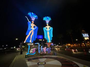
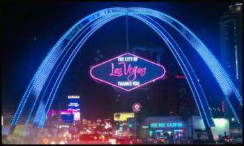
“The Las Vegas Strip name has cache and I understand why, for marketing purposes, someone would want to leverage that. But’s it not historically accurate or factual to say the Strip extends north of Sahara. It’s just doesn’t. That area north of Sahara is downtown Las Vegas. The Strat has a tall presence on the Las Vegas skyline. Just because it’s tall doesn’t mean that it automatically becomes part of the Las Vegas Strip. We believe the southern end of the Las Vegas Strip is the ‘Welcome to Las Vegas’ sign, though some argue that the southern terminus is Russell Road.”
Green said at the end of the day it’s all in fun when talking about the history of the city.
“I mean the really funny thing is, when you are on the Strip, you aren’t technically in Las Vegas, you are technically in Paradise.”
This article was updated to include new information from Clark County.